
Case study Founder & lead engineer · 2023 — present
Rescue Reach — autonomous systems for disaster response
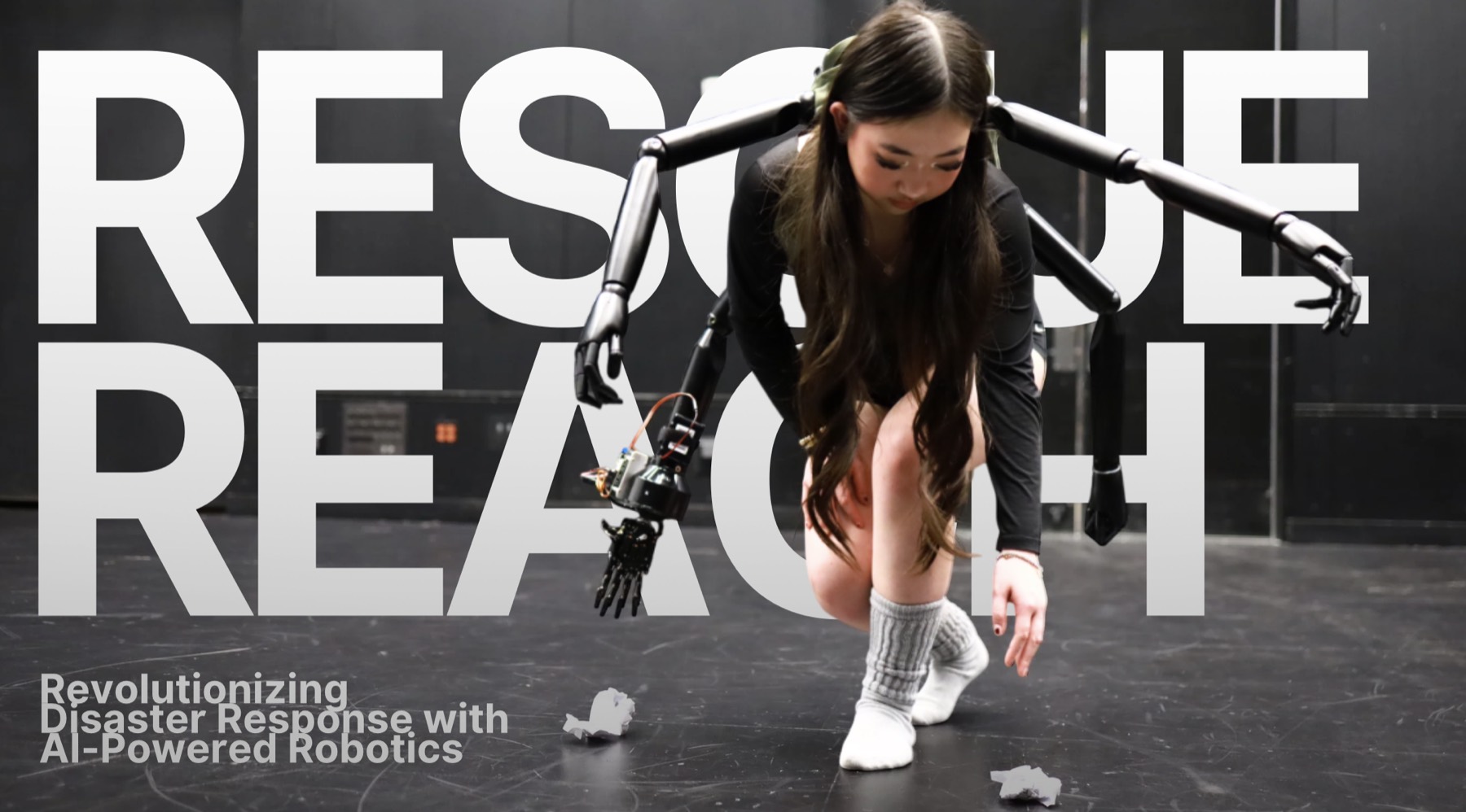
Exploring how robotics, computer vision, sensing, and coordination can improve situational awareness during the first hours after a disaster — from the air, and in a responder's hands.
Problem
In the first hours after an earthquake, fire, or storm, search-and-rescue teams work with incomplete information and not enough hands. Four constraints kept coming up in the literature and in what responders describe:
- Limited visibility under rubble. Debris, smoke, and collapse make visual search slow or impossible.
- Blocked GPS. When infrastructure is destroyed, systems that assume a position fix stop working.
- Rapidly changing hazard zones. A map from thirty minutes ago may already be wrong.
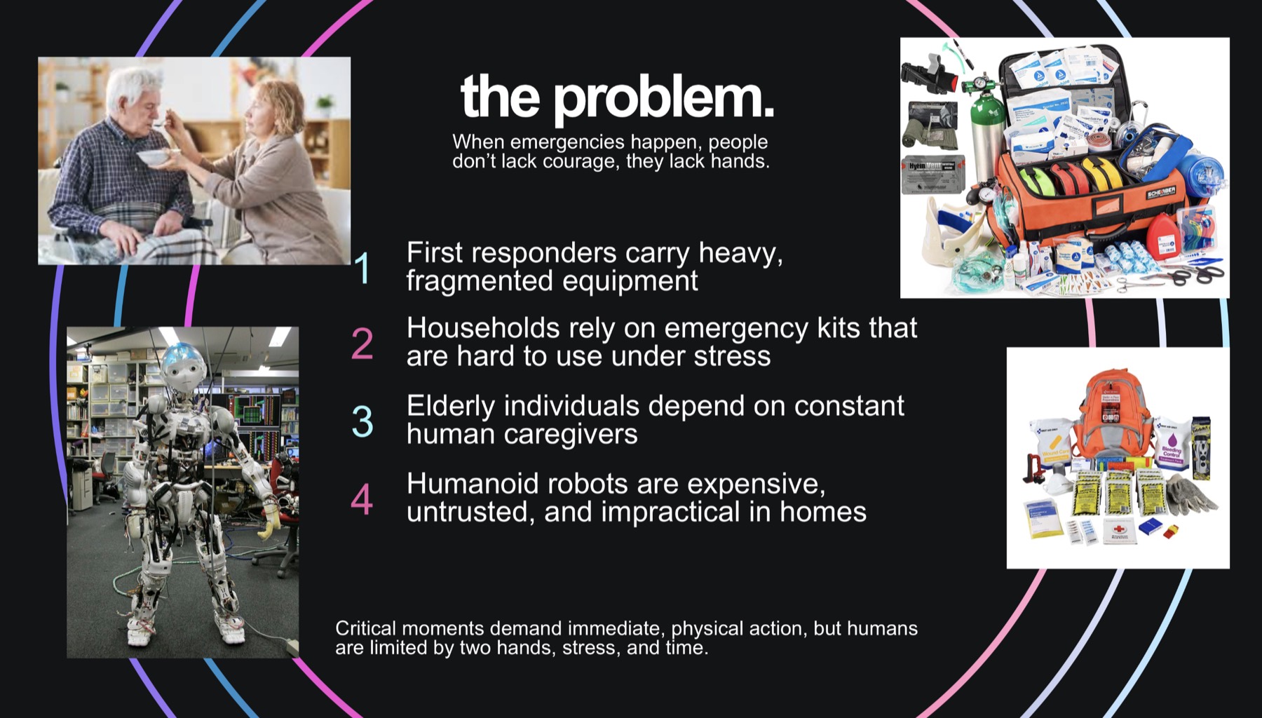
- Not enough hands. Responders carry heavy, fragmented equipment, and critical moments demand more physical capability than two hands can provide.
Research question
How can autonomous aerial systems and wearable robotics improve search, mapping, detection, and coordination in environments where communication and human access are limited?
My role
I founded the project and work as its lead engineer. Concretely, that has meant:
- Designing and iterating the robotic concepts, then building physical prototypes
- Implementing the perception pipeline — calibration, sensor fusion, detection, tracking
- Reading search-and-rescue robotics literature and translating findings into design changes
- Comparing possible aerial and wearable architectures against realistic constraints
- Running controlled tests in simulated rubble, logging failures, and redesigning around them
- Writing and presenting the research as a poster and talk at fairs and conferences
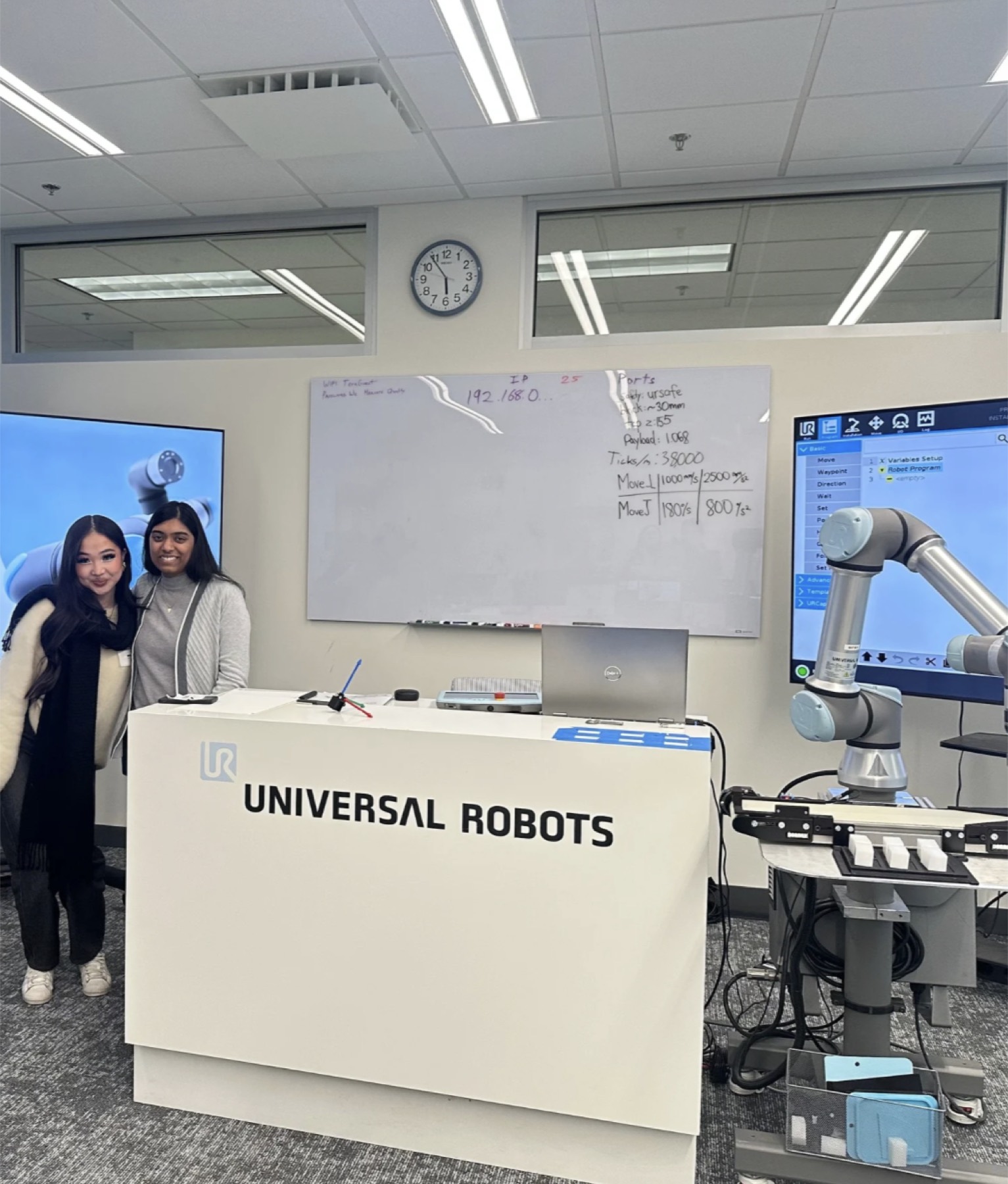
- Working with mentors, including engineers at Robostreet and Universal Robots
The research poster was authored with Wei Wang (Robostreet) and Jasmin Marwad (Universal Robots), who mentored the project alongside Will Wang.
Technical areas
System 01 Sensing from above
A multi-modal UAV sensor-fusion platform
An agile drone that maps a site in 3D while fusing LiDAR geometry with thermal radiometry to find people under debris — with results pushed to responders and residents through a companion app.
Mission planning & SLAM mapping
Coverage is planned as waypoint sweeps over a region of interest using an adaptive lawn-mower pattern. On board, a LOAM-inspired real-time SLAM pipeline fuses 16-beam LiDAR scans with IMU data on a Jetson Nano to produce continuously updated 3D maps at 20 Hz — which is what makes the system usable when GPS is unavailable.
Thermal + LiDAR fusion and detection
Thermal frames from a FLIR Lepton are aligned to LiDAR coordinates through extrinsic calibration using a pinhole projection model. A dual-stream CNN then takes synchronized four-channel tensors (X, Y, Z, T) and merges geometric and radiometric feature maps through residual bottlenecks. A single-stage detector with a YOLOv4-inspired head outputs bounding boxes, and a Kalman filter maintains identity through partial occlusion — which matters constantly when a person is only intermittently visible between slabs of debris.
The reason to fuse rather than run two detectors: LiDAR can find a void space but can't tell you whether someone is in it, and thermal can suggest a person but degrades when ambient heat is high, as it is after a fire. Fused, the model can learn spatial-thermal correlations instead of reconciling two separate alerts.
ReachLink — the coordination layer
Sensing only helps if the information reaches people. ReachLink is the mobile side of the system: geofenced push notifications tied to hazard-zone polygons with user-configurable channels, a shelter locator with occupancy and accessibility metadata and A*-based routing that caches offline, and crowd-sourced reporting where a moderated consensus algorithm surfaces validated observations and one-tap distress messaging.
Community reports turned out to be more than a nice addition. In testing they surfaced road blockages and micro-hazards that the aerial sensors missed entirely — a concrete example of why human input belongs inside the system rather than beside it.
UAV platform
Adaptive lawn-mower coverage sweeps
16-beam LiDAR + IMU
LOAM-inspired SLAM, 3D maps at 20 Hz
Jetson Nano
On-board inference, no network needed
FLIR Lepton thermal
Extrinsically calibrated to LiDAR frame
Dual-stream CNN
4-channel (X, Y, Z, T) tensors → detector + Kalman tracker
Hazard map
Candidate survivor locations
Shelter routing
ReachLink alerts
System 02 Hands on the ground
ReachOne — wearable multi-arm robotics
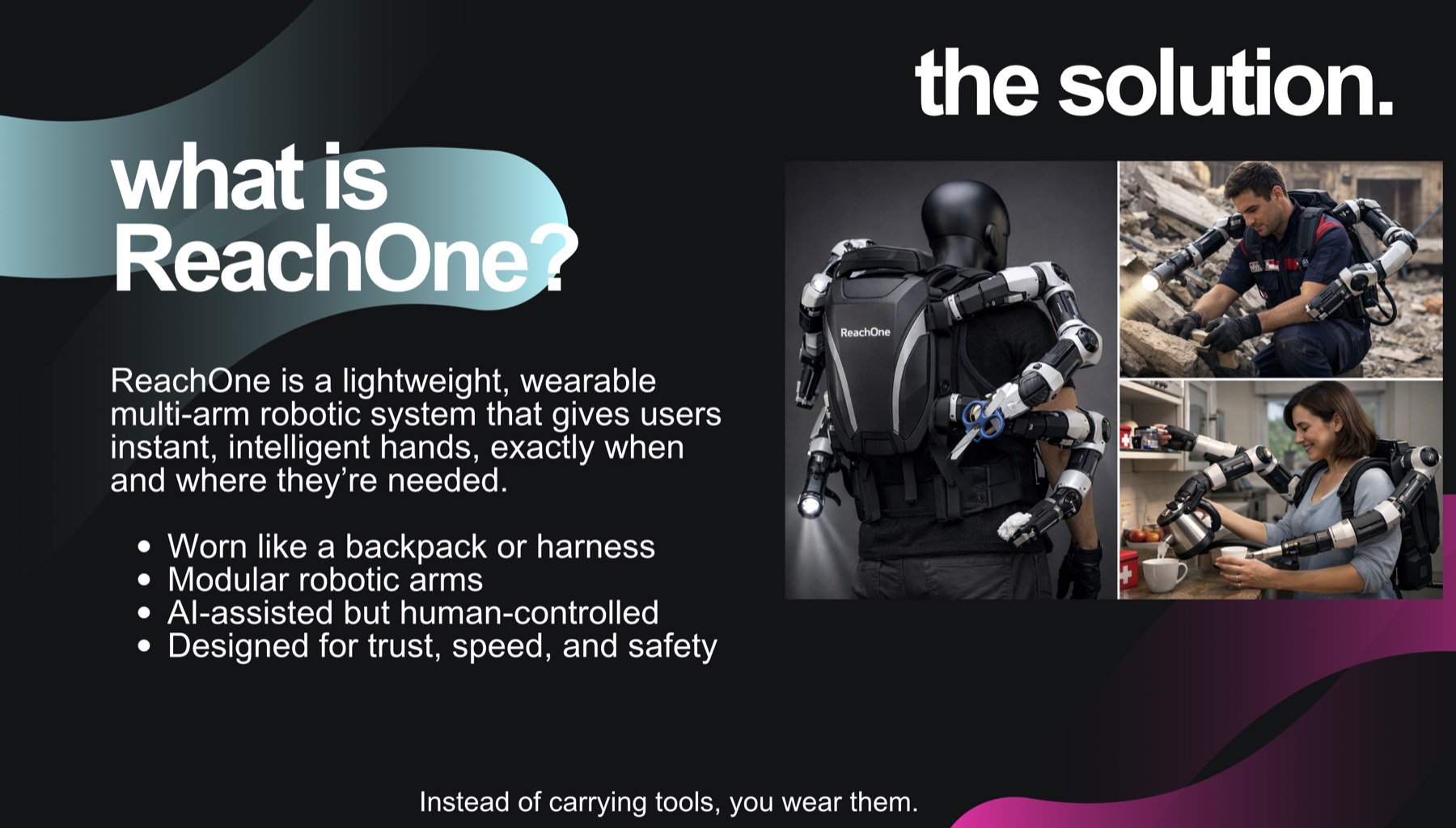
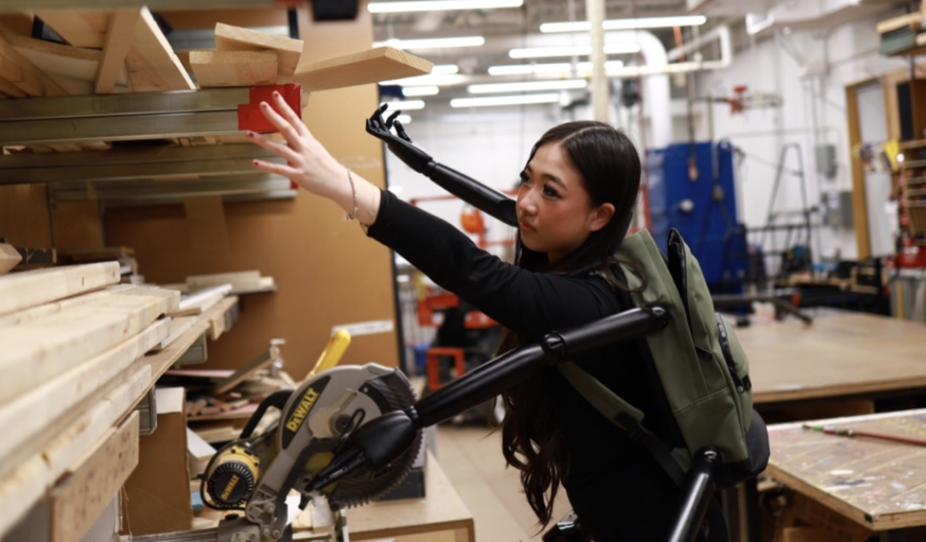
The aerial platform tells you where to go. ReachOne is my answer to what happens when you get there: a lightweight, wearable multi-arm robotic system worn like a backpack or harness.
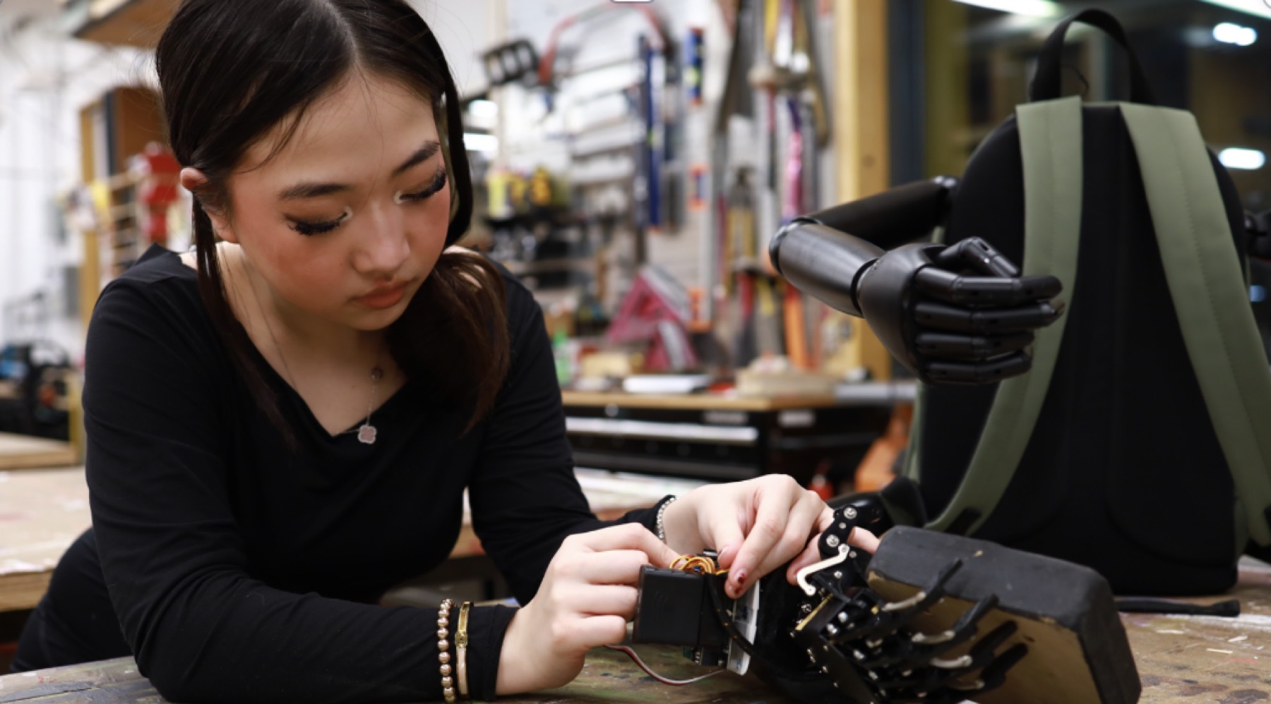
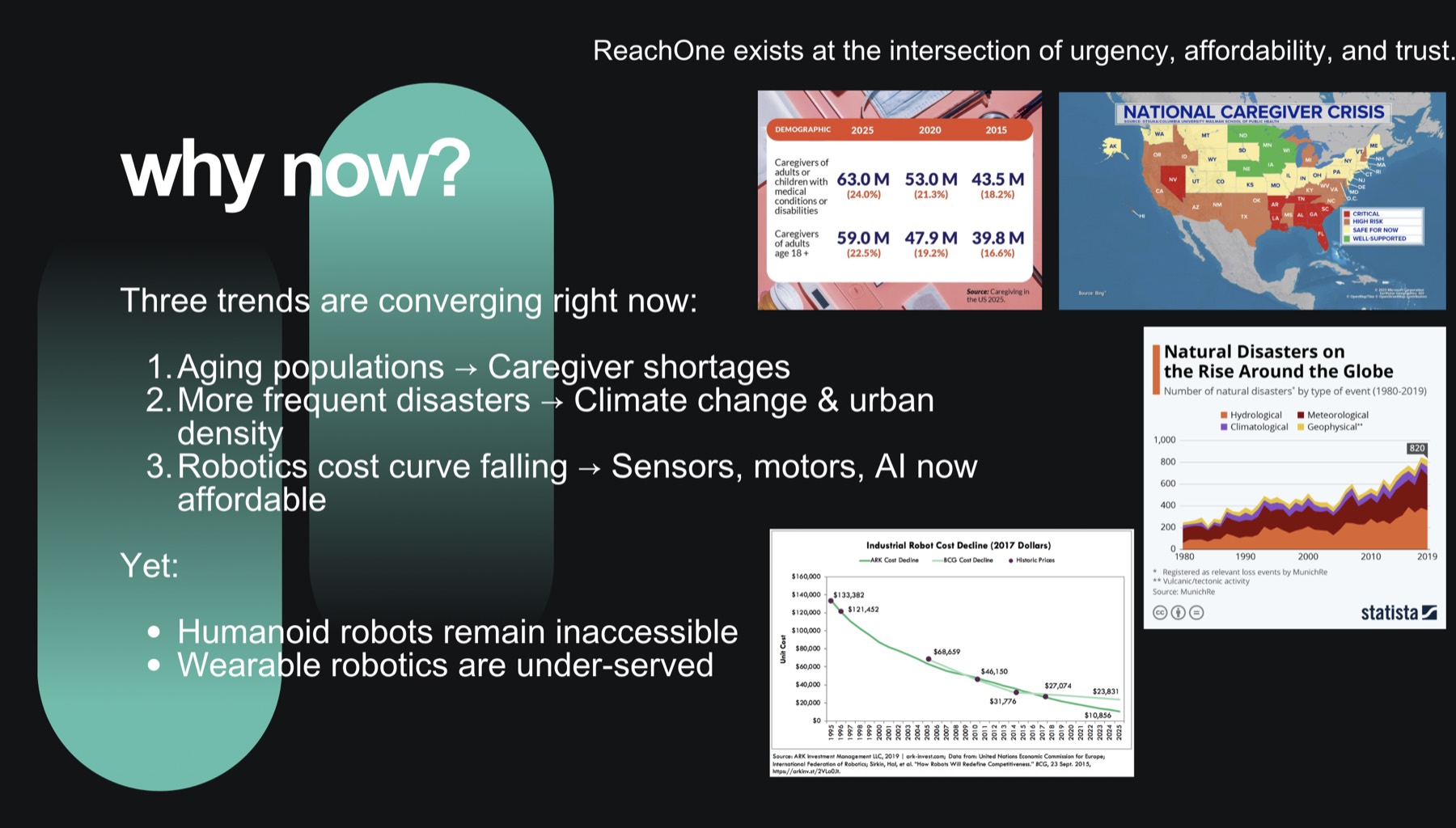
The premise came from the problem framing: in emergencies, people don't lack courage, they lack hands. First responders carry heavy, fragmented equipment; households rely on emergency kits that are hard to use under stress; elderly people depend on constant human caregivers. Humanoid robots are expensive, untrusted, and impractical in homes.
So instead of building a robot that replaces a person, I designed one a person wears. The prototype uses modular robotic arms on a harness, is AI-assisted but human-controlled, and is designed around trust, speed, and safety rather than autonomy for its own sake.
Instead of carrying tools, you wear them.
Status
What exists, and what doesn't yet
This matters to me. The project is a working prototype and an active research direction, not a deployed product — so here is the honest split.
Implemented & tested
- UAV platform flown with 16-beam LiDAR and a FLIR Lepton thermal camera
- Extrinsic calibration aligning thermal frames to LiDAR coordinates
- Real-time SLAM producing updated 3D maps on a Jetson Nano without GPS
- Dual-stream CNN fusing (X, Y, Z, T) tensors, with detector and Kalman tracker
- End-to-end fusion and inference completing in under a second on that hardware
- Roughly 85% detection rate in simulated-rubble testing, about 30% better than the 2D baseline I compared against
- ReachLink prototype with geofenced alerts, shelter routing, and crowd-sourced reporting
- ReachOne wearable multi-arm prototype built, wired, and tested through movement trials
- Research written up and presented as a poster and talk
Research directions & in development
- All detection results come from simulated rubble, not real disaster sites — validating on larger, more varied data is the priority
- Multi-UAV coordination: how a swarm should divide an area and hand off information
- Formal analysis of false-positive versus false-negative cost, which is asymmetric and important here
- Edge-AI accelerators to leave headroom for larger models
- AR interfaces so responders read the map without looking at a screen
- Field trials with organizations that do this work professionally
- ReachOne control: shared autonomy, grip safety, and load handling are all early
- Mesh networking for operation when cellular infrastructure is down
Dissemination
Poster & presentations
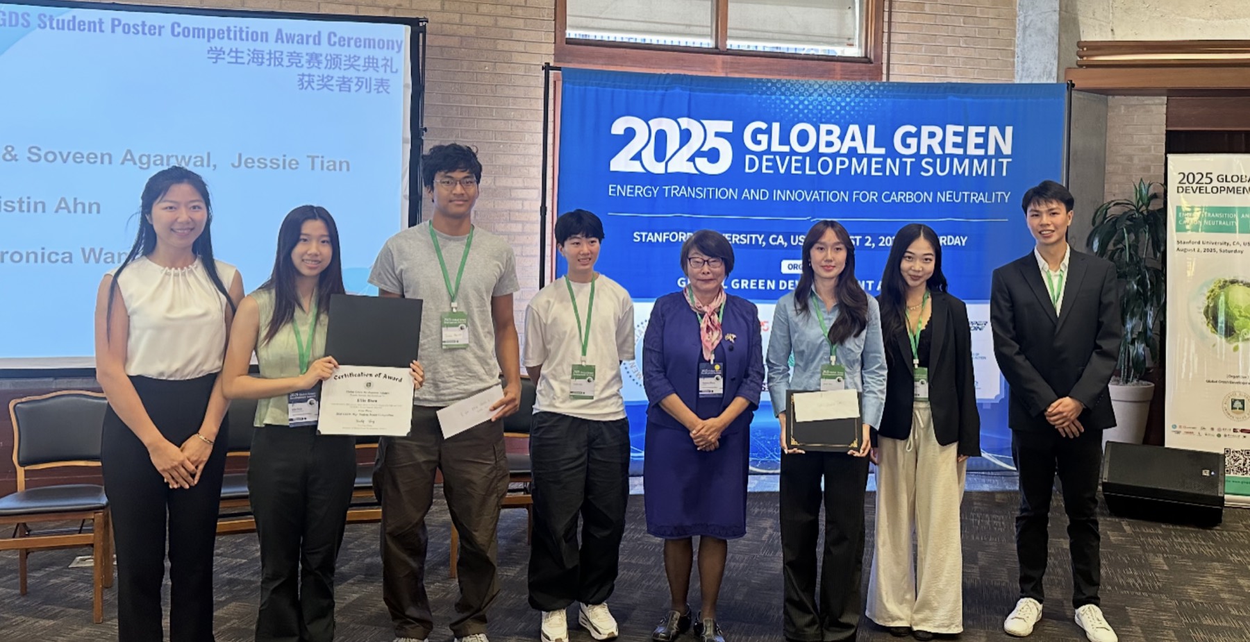
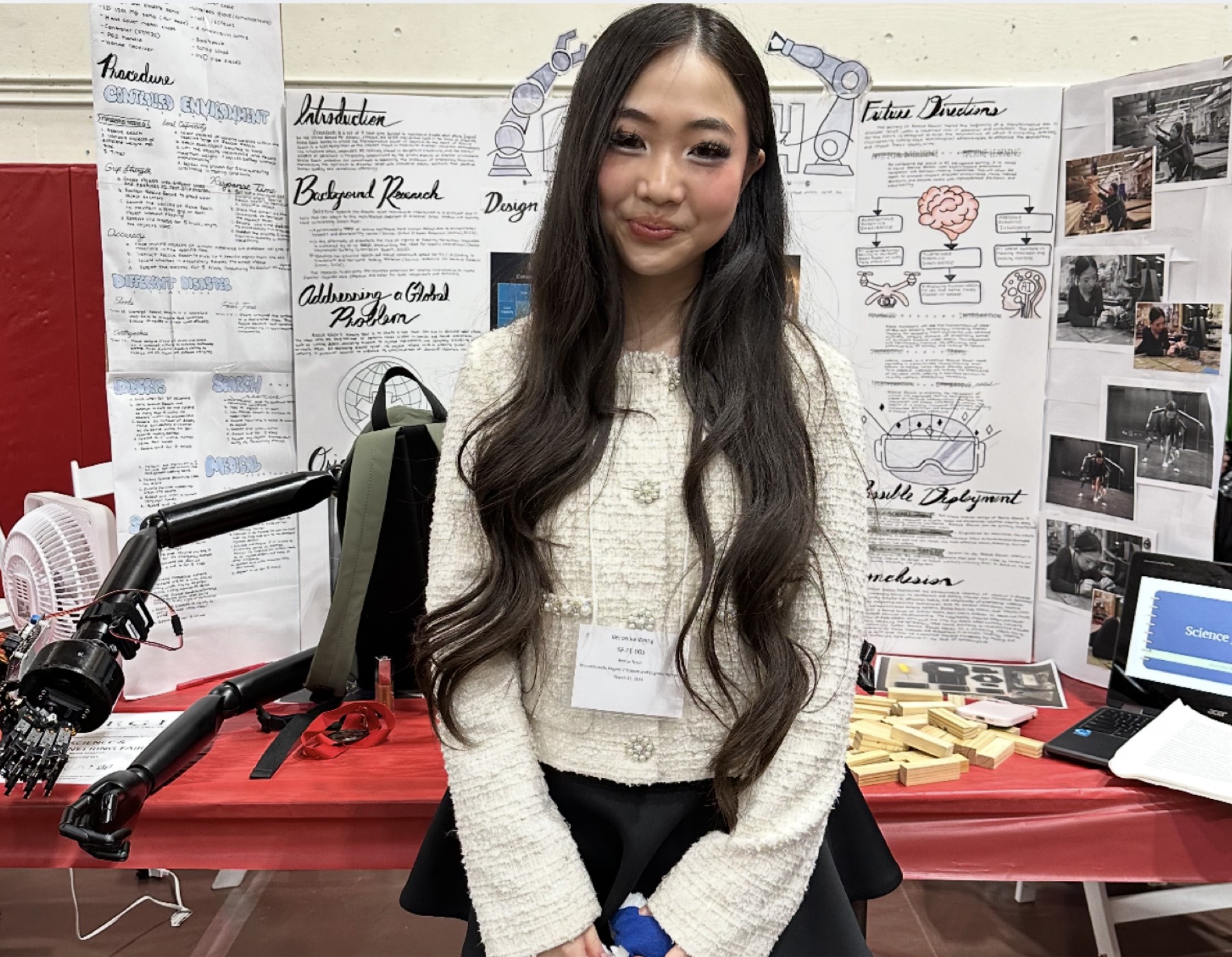
This work has been presented at the Massachusetts Science & Engineering Fair, the Thermo Fisher Junior Innovators Challenge, and at the 2025 Global Green Development Summit at Stanford University, where the poster received an Outstanding Award.
What I found
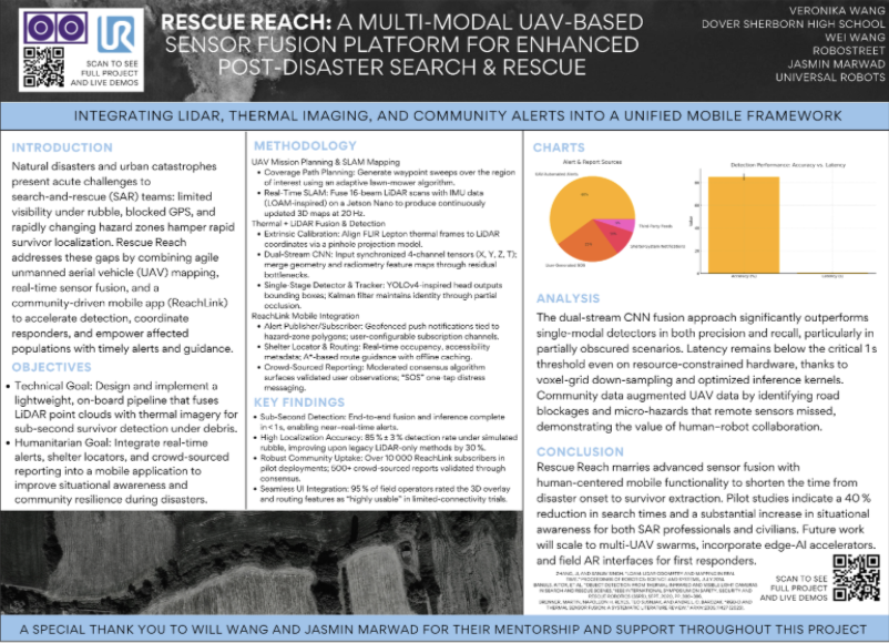
- The dual-stream fusion approach outperformed single-modality detectors in both precision and recall, most clearly in partially obscured scenarios — which are the ones that matter.
- Latency stayed under the one-second target even on resource-constrained hardware, using voxel-grid down-sampling and optimized inference kernels.
- Community reports identified road blockages and micro-hazards the remote sensors missed, which is the clearest argument I have for human-robot collaboration over full automation.
- SLAM-based local mapping made navigation feasible without GPS, though drift over longer runs is still a limitation.
- The hardest unsolved part isn't detection. It's coordination — deciding what information is worth transmitting when bandwidth is scarce and several agents each know something partial.
Gallery
Prototypes & presentations
This is where my interests converge
Perception, robotics, and systems that have to work for people under pressure. I'd like to keep going with it somewhere people know more than I do.